Trail Walking La Rochénard - La Rochenard - Photo
 olaze
olaze

User

© OpenStreetMap contributors
Length
Length
3 km
Max alt
Max alt
51 m
Uphill gradient
Uphill gradient
23 m
Km-Effort
Km-Effort  
3.3 km
Min alt
Min alt
38 m
Downhill gradient
Downhill gradient
23 m
Boucle
Boucle
Yes
Creation date :
2014-12-10 00:00:00.0
Updated on :
2014-12-10 00:00:00.0

(0 Reviews)

Walking
Walking
1h18
Difficulty : Very easy

Scan this QR Code to open this trail in the SityTrail application

FREE GPS app for hiking

Logo SityTrail SityTrail

IGN / Geographical institutes

Download SityTrail from the App Store Download SityTrail from Google Play

Logo SityTrail SityTrail World

The world is yours!

Download SityTrail from the App Store Download SityTrail from Google Play Download SityTrail on Huawei AppGallery

About

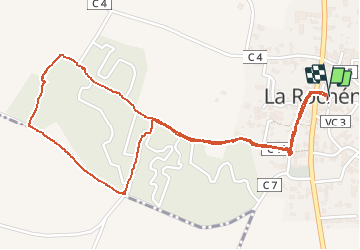
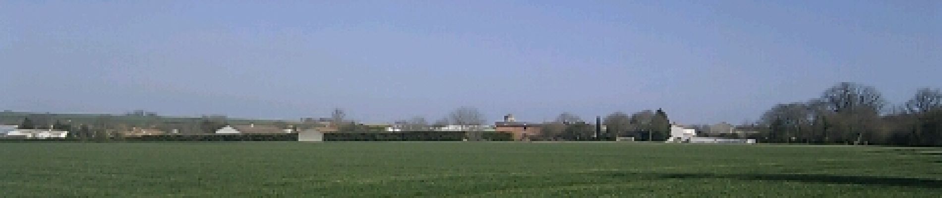
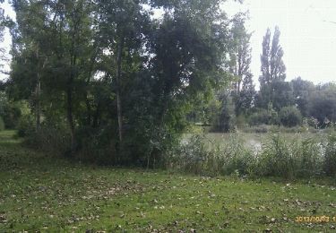
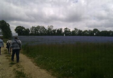
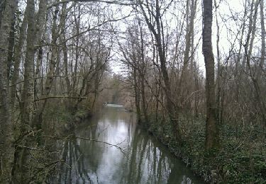
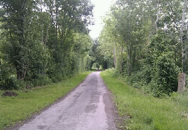
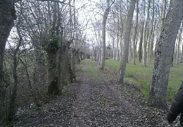
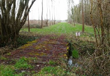
Trail Walking of 3 km to be discovered at New Aquitaine, Deux-Sèvres, La Rochénard. This trail is proposed by olaze.

Description

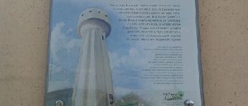
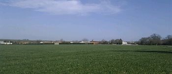
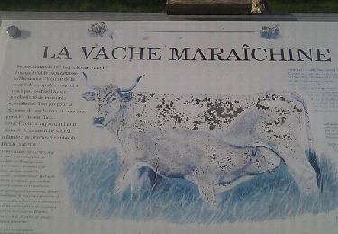
Agréable promenade autour de La Rochénard.Château d'eau panoramique, campagne.
Club rando ATSCAF 9 mars 2012

Elevation profile

Photos

Points of interest

Point of interest La Rochénard - Chateau d'eau - Photo
olaze
LA ROCHÉNARD 
Point of interest La Rochénard - Puits - Photo
olaze
LA ROCHÉNARD 
Point of interest La Rochénard - La Rochenard - Photo
olaze
LA ROCHÉNARD 

Positioning

Country:
France
Region :
New Aquitaine
Department/Province :
Deux-Sèvres
Municipality :
La Rochénard
Location:
Unknown
Start:(UTM)
686220 ; 5119653 (30T) N.

Trails nearby

Trail Walking Épannes - Epannes. plan d'eau .(9km) - Photo
Walking
olaze

Walking

Very easy
Épannes, New Aquitaine, Deux-Sèvres, France
10.2 km | 10.9 km-effort
2h 12min
Yes
Trail Walking Val-du-Mignon - Olbreuse - Photo
Walking
olaze

Walking

Easy
(1)
Val-du-Mignon, New Aquitaine, Deux-Sèvres, France
9.9 km | 10.8 km-effort
2h 24min
Yes
Trail Walking Épannes - Epannes . (fougerit) - Photo
Walking
olaze

Walking

Easy
Épannes, New Aquitaine, Deux-Sèvres, France
9.7 km | 10.3 km-effort
2h 18min
Yes
Trail Walking Le Bourdet - Le Bourdet - 10km - Photo
Walking
olaze

Walking

Easy
Le Bourdet, New Aquitaine, Deux-Sèvres, France
10.5 km | 11.1 km-effort
2h 28min
Yes
Trail Walking Épannes - Epannes (plan d'eau). 6,8km - Photo
Walking
olaze

Walking

Easy
Épannes, New Aquitaine, Deux-Sèvres, France
6.8 km | 7.2 km-effort
1h 49min
Yes
Trail Walking Épannes - Epannes (Le Bourdet). 9,3km - Photo
Walking
olaze

Walking

Easy
Épannes, New Aquitaine, Deux-Sèvres, France
9.3 km | 9.8 km-effort
2h 22min
Yes
Trail Walking La Foye-Monjault - La Foye Montjault 2018 - Photo
Walking
olaze

Walking

Easy
La Foye-Monjault, New Aquitaine, Deux-Sèvres, France
8 km | 8.9 km-effort
1h 45min
Yes
Trail Walking Prin-Deyrançon - Prin Deyrançon 2 - Photo
Walking
olaze

Walking

Easy
Prin-Deyrançon, New Aquitaine, Deux-Sèvres, France
8.4 km | 9.1 km-effort
2h 9min
Yes
Trail Walking Épannes - Epannes_Le Bourdet_8,8km - Photo
Walking
olaze

Walking

Easy
Épannes, New Aquitaine, Deux-Sèvres, France
8.8 km | 9.3 km-effort
2h 4min
Yes


Close
My subscriptions